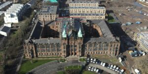
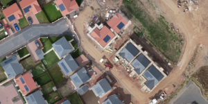
6 Years of Flight: From “Pretty Pictures” to Precision Science at Drone Scotland!
This week marks my 6th work anniversary with Drone Scotland, and what an exhilarating journey it’s been, helping transform a small micro business into a thriving family business. When I …


